Top Tip: Copy & Paste
You can now copy and paste straight onto the page any lat/lng string. Acceptable formats include:
- 03°04′33″S 37°21′12″E
- 3.0674° S, 37.3556° E
- -3.0674, 37.3556
The aim of this project is to generate 16 bit heightmap data for use in software such as Unreal Engine 5
High quality height data is available from Mapzen's global elevation service.
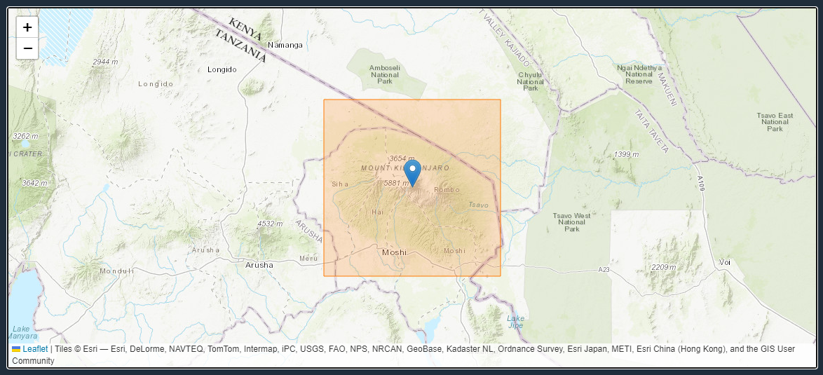
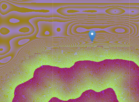
Using the map at the top of the screen, choose a location. You can also manually type in a latitude and longitude.
The orange rectangle shows the size of the exported image, and what will be included.
The size of the exported area depends on the output zoom and the output size in pixels.
After clicking 'Generate' a 16 bit PNG should await you.
| Latitude | The Latitude at the centre of the image |
|---|---|
| Longitude | The Longitude at the centre of the image |
| Zoom | The zoom level in the preview |
| Output Zoom | The zoom level to use for the output |
| Map Preview Type | The tiles to use in the preview at the top of the page |
| Output Width (px) | The output width of the entire image in pixels |
| Output Height (px) | The output height of the entire image in pixels |
| Default Sizes | A preset list of useful sizes |
| Normalisation Mode | The normalisation mode to use. See below for more information |
| Norm From | Overrides the normlisation "from" parameter. Can be useful when low height data is funky, e.g. at the coast (just use 0) |
| Norm To | Overrides the normlisation "to" parameter |
You can now copy and paste straight onto the page any lat/lng string. Acceptable formats include:
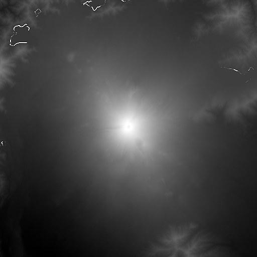
The output will be a 16 bit grayscale PNG file with the gray levels representing the height of the ground at that location.
16 bits gives 216 levels of detail between the lowest and highest point. That's 65536 levels - enough to detail from sea level to the top of mount everest (8849m) in roughly 13cm intervals.
For comparison, 8 bit detail only give 28 levels of detail, which is only 256 levels!
The mapzen data is actually much more detailed than 16 bit (it has 24 bits of data, with a fidelity of about 4mm in the data itself, although the measurements are probably only accurate to 1m maximum)
You can now select 16/32 bit EXR output options.
These are useful for importing into Terrain3D and Blender.
When using the data for import into Unreal Engine 5, it can be useful to normalise the data so that you're using the full 16 bit range of the file.
| Normalisation Mode | None | Regular | Smart |
|---|---|---|---|
| Aizuwakamatsu Without Source Error |
 |
 |
 |
| Mt Fuji With Source Error |
 |
 |
 |
Here is an example of an error in the source data:

You can find information how to use the 16 bit png images for landscapes on the Unreal Engine website
You can use these to import into other game engines, and also 3D software such as Blender.